
Wednesday September 3, 2014, 39 miles (63 km) – Total so far: 4,751 miles (7,646 km)
It’s not all that often that you can see the first seven miles of your riding day all laid out before you. But that is the case today. From the campground on Dead Indian Creek, you can trace the curves and switchbacks of the road all the way up to the top of the pass above you. You can either dread the climb first-thing, or consider it your lucky day that you get the biggest climb of your day out of the way just after the start-line.
The seven miles is reputed to have a seven percent average grade, but the climbing is really not that fearsome. Maybe I would be saying something different if I were only six weeks into my tour instead of three months, but there is never a stage in the climb where I feel like it is too tough. Coming from Beartooth Pass, you kinda get a bit cocky and think, “Seven miles, pffft. Try 28 miles.” Regardless of your attitude or fitness, however, the climb provides outstanding views into the Sunlight Basin and over to the Absarokas and the Beartooth Plateau. As you traverse back and forth across the mountain-side there is so much to look at, you can’t help but be distracted by the views and how quickly you gain altitude from the creek below. I’m trying to pick out different rock types as I go, also. As you ascend the mountain, you go through younger and younger sections of Paleozoic rocks until you reach the pass located on the sandstones of the Tensleep Formation.

I chug my way up, only stopping once to take off some clothes. At the top there is a Dutch guy with binoculars looking for bears on distant hillsides, a motorcyclist who wants me to take a photo of him riding MY bike to send to his friends, and the typical array of iPad photographers and overweight Americans who climb out of their cars, gaze over the edge, remark about how cold and windy it is, then get back in their cars and seal themselves back into a smaller existence. There is also an abundance of obnoxious and cheeky chipmunks that climb all over my bike and nearly up my leg.

After trying to pick out rock types and the scattered blocks of the Heart Mountain Detachment, I head down the other side of the pass. I know I’m going to have good pavement for quite some time, because I came through here when they were laying the asphalt last year. I also know there is going to be one sneaky but short uphill not far down the road.
We fly down the drainage – pine trees growing on high slopes to the right, scattered outcrops of rock in front, and the ridge that runs to the pass on our left. We drop down to the grassy bottom and sail through the long gentle left-hand curve. Then we climb up to weave through a narrow valley where the rock walls begin to encroach upon the road, before the road delivers us into an even narrower canyon with sparse forest and rocky slopes. The wind shoots straight through here like the draft under a leaky door.


The road then curves hard right out of the canyon and we begin descending an open ridge on the Phosphoria Formation. This rock was deposited around 275 million years ago and is the formation mined for phosphate in other locations. The views are long but I’m not looking up too much after the first switchback because I’m aiming to go as fast as I can. I feel more confident on the tires I have this year, and I really enjoy leaning the bike right into the curves. However, the wind is pretty gusty today as we get further down the hill, so the conditions are not ideal to let it fly.

I stop for one photo of the bright red, uplifted layers of the Chugwater Formation. Last year’s photo turns out better though. Still, I love the deep reds of the Triassic formations, and the knowledge that this time period, about 200 million years ago, saw the deposition of bright red rocks right around the globe. The ones here are thought to be tidal mud flats. Capping the red beds are a white rock called the Gypsum Springs Formation which are thought to be minerals precipitated from seawater as it evaporated in a shallow embayment.

The road flattens out and I have to pedal pretty hard to keep up the pace. My speed still slips back… 16 mph, 14 mph, 12 mph. I pedal a lot of miles at 12 mph! There is one final short, steep downhill to the bridge and intersection with Highway 120. I come flying around the corner, pedalling hard into it, only to be disappointed that they are working on the bridge and have a flagger at the base of the steep hill. I start to brake, even though I’m still at least 300 feet away, but the guy with the stop/go sign flips the sign to SLOW and waves me through with a huge smile and a long rotating swing of his arm that originates in his shoulder. Hehehehe! I fly by him as he yells out, “Way to go, girl!” You have to imagine him saying that with a little bit of Doppler Effect because I really do zoom right by him at 35 mph. The fresh asphalt on the bridge is like riding from concrete to damp sand, and I can feel the tug on my tires. I feel like I’m in a cartoon because most of the road workers look up to see me streaking through, and their heads all turn in unison to follow my movement over the bridge. It’s like they are following a tennis ball, only their heads never jerk back the other direction.
I stop not far from the intersection because I know I’ve got a climb coming to Skull Creek Summit that will have one steep bit. I haven’t eaten yet today, so it’s time to fuel up. The wind is picking up to become a nuisance of a crosswind, so I’m glad to have a shoulder to get shoved around in. Our climb to the summit takes us through Cretaceous sandstones on the shoulder of the Bighorn Basin. The rocks are folded into gentle anticlines and synclines (upside down U-shape and U-shaped folds) in what is not a gentle landscape. The soils support little but sagebrush. Only a few scraggly trees cling to existence in the very bottom of the tiny creek below. The hills immediately adjacent to the road are somewhat rugged, and nothing about the scene would ever suggest that life is easy or will go as planned.

Once to the summit, fantastic views of Heart Mountain further suggest that life does not always go as planned. The top rocks on Heart Mountain are 300 million-year-old Madison limestones (yep, them again) which slid more than 50 miles during that massive landslide we’ve been looking at the past two days. The limestones came to rest here on top of the 50 million-year-old Willwood sandstones which were the ground surface at the time of the slide. Outstanding!

The wind is getting obnoxious as we cruise down to Cody. It’s a Red Flag Warning day, and there is wildfire smoke and raised dust in the air. It’s quite warm now, but a dry cold front is predicted this evening. As I roll into town, I head for lunch at Wendy’s. The lunch rush is on. I am very sweaty and am on Day Three of riding without a shower. I feel sorta bad for whomever has to stand next to me in line. But no one shies away or wrinkles up their nose, so my quick, goosebump-inducing dip in the creek last night must have helped. Later on, I head down to the RV park I stayed at last year and the front desk woman is incredibly friendly. She gives me multiple discounts (off-season, solo, on a bike) so I only pay $13 after tax. I immediately sign up for another night so I can get some errands done tomorrow – it’s worth doing them here for that price (includes good showers, big laundry room, huge games room with TV and tables to sit at, good wifi)! I think I paid about $25 last year during the beginning of peak season and was squished right next to other tenters right behind the building. This time there is space galore in the main tenting area and heaps of bandwith to plan out the upcoming days.
The dry cold front does come through in an extremely gusty whoosh of whirling winds. The temperature drops 20 degrees in a very short time and I’m left looking for my jacket as it hits the lower 60s. It’s been another fantastic day. I am also really proud of the riding I did last year. The Chief Joseph Scenic Highway is much more difficult heading northwest than southeast. While there is plenty of climbing in both directions, it is definitely harder going toward Cooke City. I can’t believe all of the climbing I did in one day last year fairly early in my tour while still recovering from the flu. I wish I could go back and give myself a hi-five for that one – that was no small feat when I was still not feeling all that great. It just goes to show that it often really is mind over body to get yourself through the more difficult days.
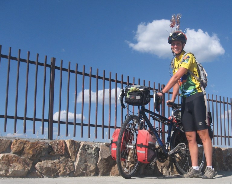
Finally, if you ever get the chance to ride WY 296, go! I do believe that is my favourite stretch of road from all of my tours. Combining it with Beartooth Pass makes it even more spectacular. Can you see the glint in my eye and my silly smile? I’d go back again in a Heart Mountain Detachment heartbeat.
(If this section of road sounds interesting, this old booklet from the State Geological Survey has a road log, great aerial shots and history. Some of the geologic thinking has matured since this publication, but it is still quite good: http://www.wsgs.wyo.gov/public-info/onlinepubs/docs/PIC-35.pdf ).